Trail N°2 - The tour of Cotzé
Trail
in Err
5.0
km
Loop
Trail
1h
Easy
-
So beautiful up there!
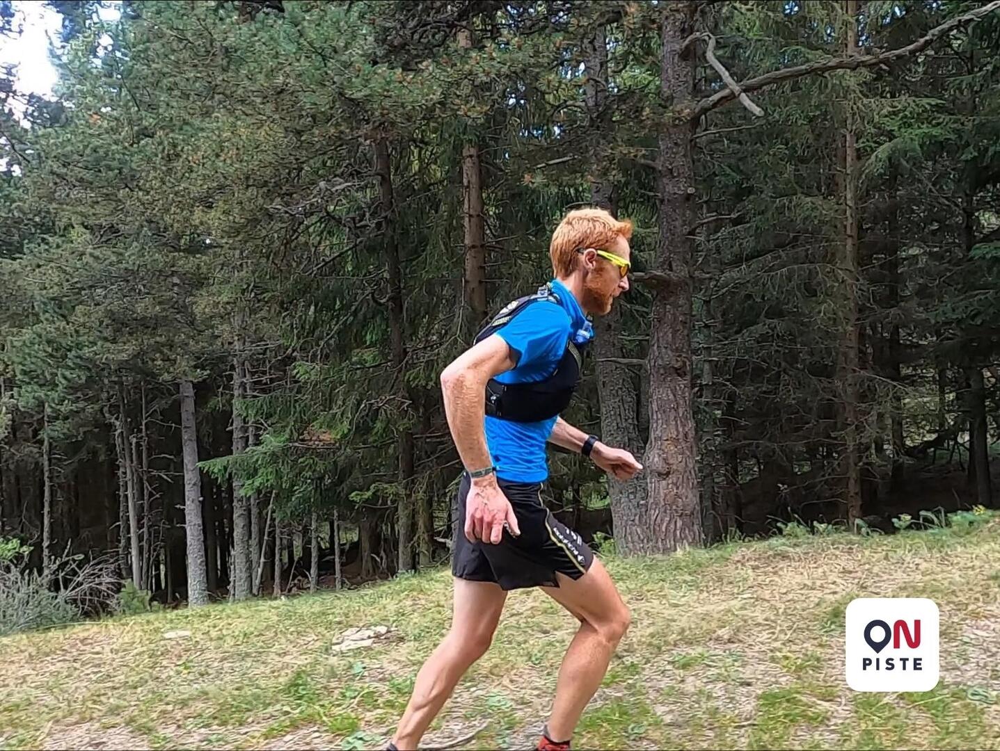
After a very gentle first kilometer of a slight incline you enter the forest.
From there, the climb is a little steeper, you have to quickly find your second breath.
A small flat at mid-slope to be able to get your breath. The rest of the climb is very smooth and regular.
Finally the descent on a very large and slightly rugged portion.
The ease of this descent makes it possible to enjoy the panorama of the Cerdagne and the Pic du Carlit.
- Difference in height
- 293.81 m
-
-
Documentation
- GPX / KML files allow you to export the trail of your hike to your GPS (or other navigation tool)
-
- 294 meters of difference in height
-
- Start altitude : 1844 m
- End altitude : 1842 m
- Maximum altitude : 2128 m
- Minimum altitude : 1842 m
- Total positive elevation : 294 m
- Total negative elevation : -295 m
- Max positive elevation : 109 m
- Min positive elevation : -230 m