VTT N°4 - The magic forest
Mountain biking
in Err
8.8
km
Loop
Mountain biking
1h
Easy
-
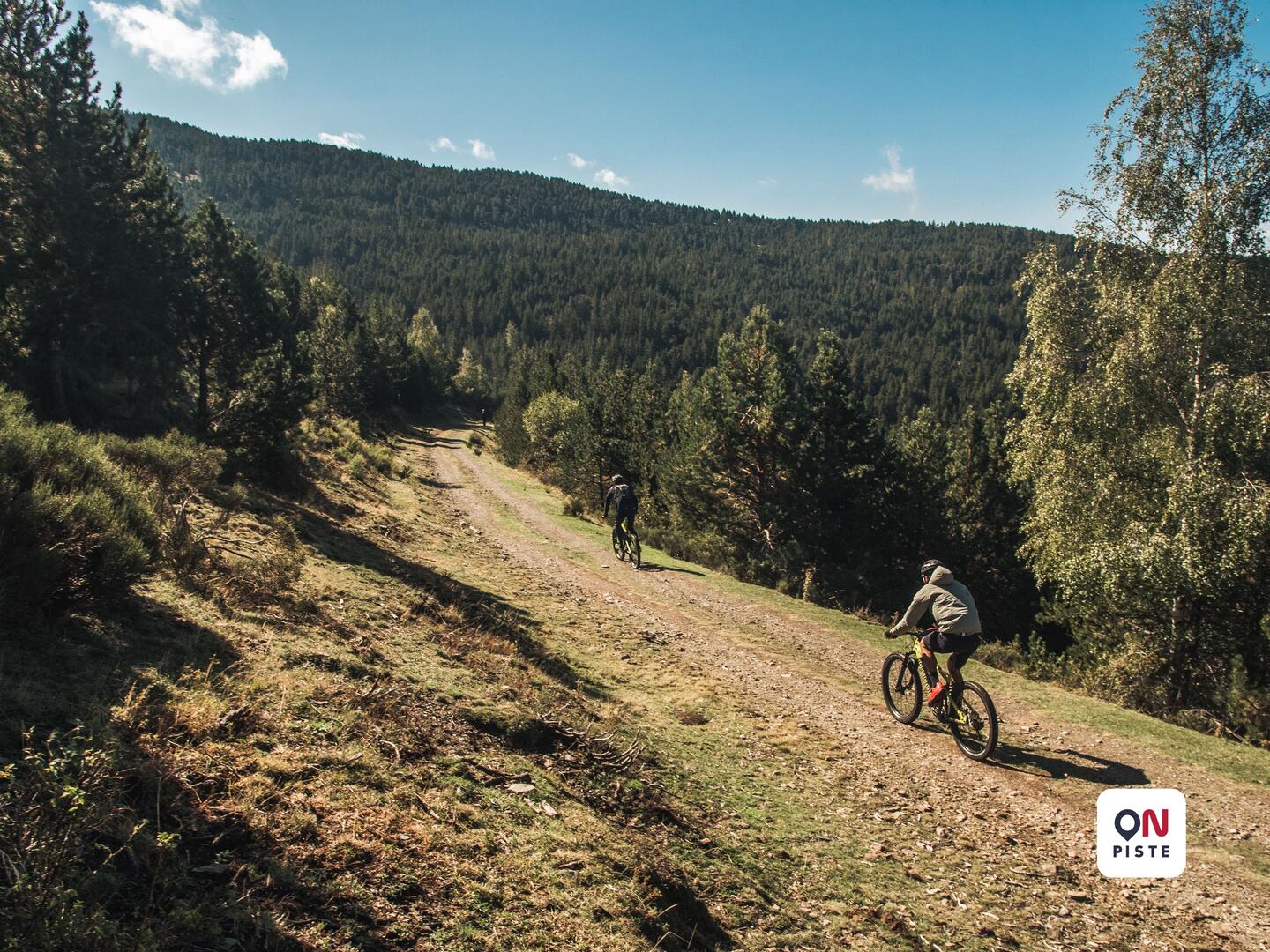
A route to warm up or discover mountain biking!
After a smooth start on a fairly uneven and rolling forest track, take a nice little single-track path through the pine forest.
To follow, a steady climb over 1.5km without major technical difficulties but where you have to pedal hard to get to the top.
From there, a nice descent, on a forest track to work on piloting techniques.
A passage in the forest, a little more technical, brings back to the starting track.
All that remains is to go back...A route to warm up or discover mountain biking!
After a smooth start on a fairly uneven and rolling forest track, take a nice little single-track path through the pine forest.
To follow, a steady climb over 1.5km without major technical difficulties but where you have to pedal hard to get to the top.
From there, a nice descent, on a forest track to work on piloting techniques.
A passage in the forest, a little more technical, brings back to the starting track.
All that remains is to go back at your own pace.
- Difference in height
- 249.93 m
-
-
Documentation
- GPX / KML files allow you to export the trail of your hike to your GPS (or other navigation tool)
-
- 250 meters of difference in height
-
- Start altitude : 1858 m
- End altitude : 1855 m
- Maximum altitude : 1998 m
- Minimum altitude : 1852 m
- Total positive elevation : 250 m
- Total negative elevation : -252 m
- Max positive elevation : 62 m
- Min positive elevation : -71 m