Trail N°6 - From refuge to refuge
Trail
in Err
13.3
km
Loop
Trail
2h 30min
Medium
-
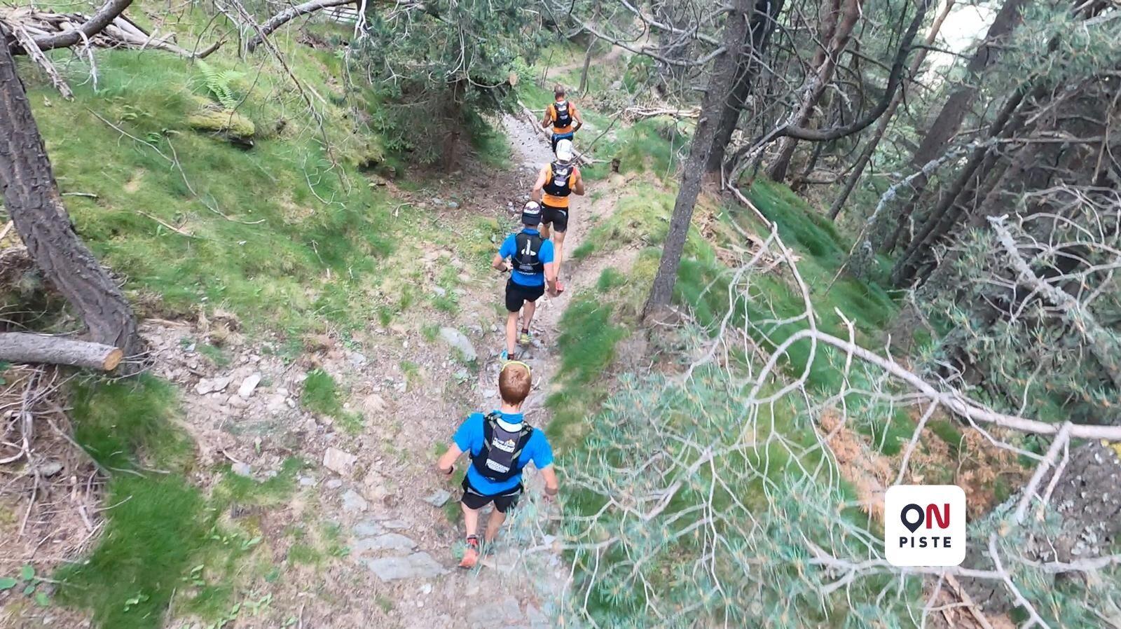
From one valley to another!
This journey begins smoothly on the forest trail that leads to the first Pastoral Refuge of Sainte Leocadie.
A narrow and playful trail in the forest leads to the second refuge - Nahuja.
Then you have to switch to the Vanéra Valley. Discovering a new setting, notably the Soula of Osséja. This village is on the western side of the Puigmal massif.
Climb up Cotzé on a somewhat technical trail before the descent back to the start.
TIP: This course can be practiced as...From one valley to another!
This journey begins smoothly on the forest trail that leads to the first Pastoral Refuge of Sainte Leocadie.
A narrow and playful trail in the forest leads to the second refuge - Nahuja.
Then you have to switch to the Vanéra Valley. Discovering a new setting, notably the Soula of Osséja. This village is on the western side of the Puigmal massif.
Climb up Cotzé on a somewhat technical trail before the descent back to the start.
TIP: This course can be practiced as a sports walk in the summer. Two shelters on the course that allow you to take a lunch break. The one in Sainte Léocadie is equipped with a barbecue.
- Difference in height
- 682.93 m
-
-
Documentation
- GPX / KML files allow you to export the trail of your hike to your GPS (or other navigation tool)
-
- 683 meters of difference in height
-
- Start altitude : 1842 m
- End altitude : 1851 m
- Maximum altitude : 2204 m
- Minimum altitude : 1688 m
- Total positive elevation : 683 m
- Total negative elevation : -674 m
- Max positive elevation : 310 m
- Min positive elevation : -353 m