VTT N°10 - The tour of the Angust Gorge
Mountain biking
in Err
23.3
km
Loop
Mountain biking
2h 30min
Hard
-
Discover one of the most unusual decorations of Cerdagne!
From the Ecobike store in Saillagouse, this sports course starts with a steep hill.
Once this first effort is made, beautiful panoramas of the whole of Cerdagne allow you to breath. A moment to discover the many solar installations.
The route then follows some of Cerdagne's prettiest monotrace with a wide variety of passages. In meadows, or in the undergrowth, it reserves beautiful technical portions.
A final part takes place in the...Discover one of the most unusual decorations of Cerdagne!
From the Ecobike store in Saillagouse, this sports course starts with a steep hill.
Once this first effort is made, beautiful panoramas of the whole of Cerdagne allow you to breath. A moment to discover the many solar installations.
The route then follows some of Cerdagne's prettiest monotrace with a wide variety of passages. In meadows, or in the undergrowth, it reserves beautiful technical portions.
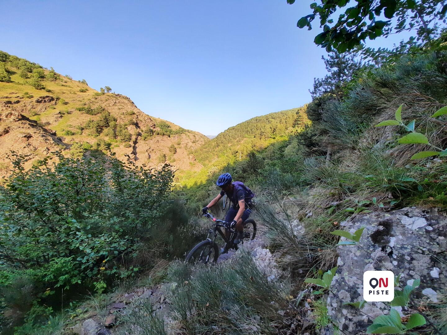
A final part takes place in the heart of the wild and steep gorges of The Angust.
Completely atypical décor on the side of a cliff.
- Difference in height
- 592.12 m
-
-
Documentation
- GPX / KML files allow you to export the trail of your hike to your GPS (or other navigation tool)
-
- 592 meters of difference in height
-
- Start altitude : 1316 m
- End altitude : 1312 m
- Maximum altitude : 1569 m
- Minimum altitude : 1312 m
- Total positive elevation : 592 m
- Total negative elevation : -596 m
- Max positive elevation : 147 m
- Min positive elevation : -153 m